GeoVision
Showcasing Our Expertise in AEC & BIM Software Solutions.
What We Delivered as GeoVision
Our team developed GeoVision to demonstrate our ability to deliver complex, scalable solutions for the AEC & BIM industries. GeoVision is an ecosystem combining real-time collaboration, advanced 3D visualization, and seamless integration with industry-standard design tools.
One of the key advancements is our enhanced 3D Viewer, which introduces

Walking Mode
Walking Mode for an immersive first-person experience inside models.

Fly Mode
Fly Mode for intuitive navigation of large-scale projects.
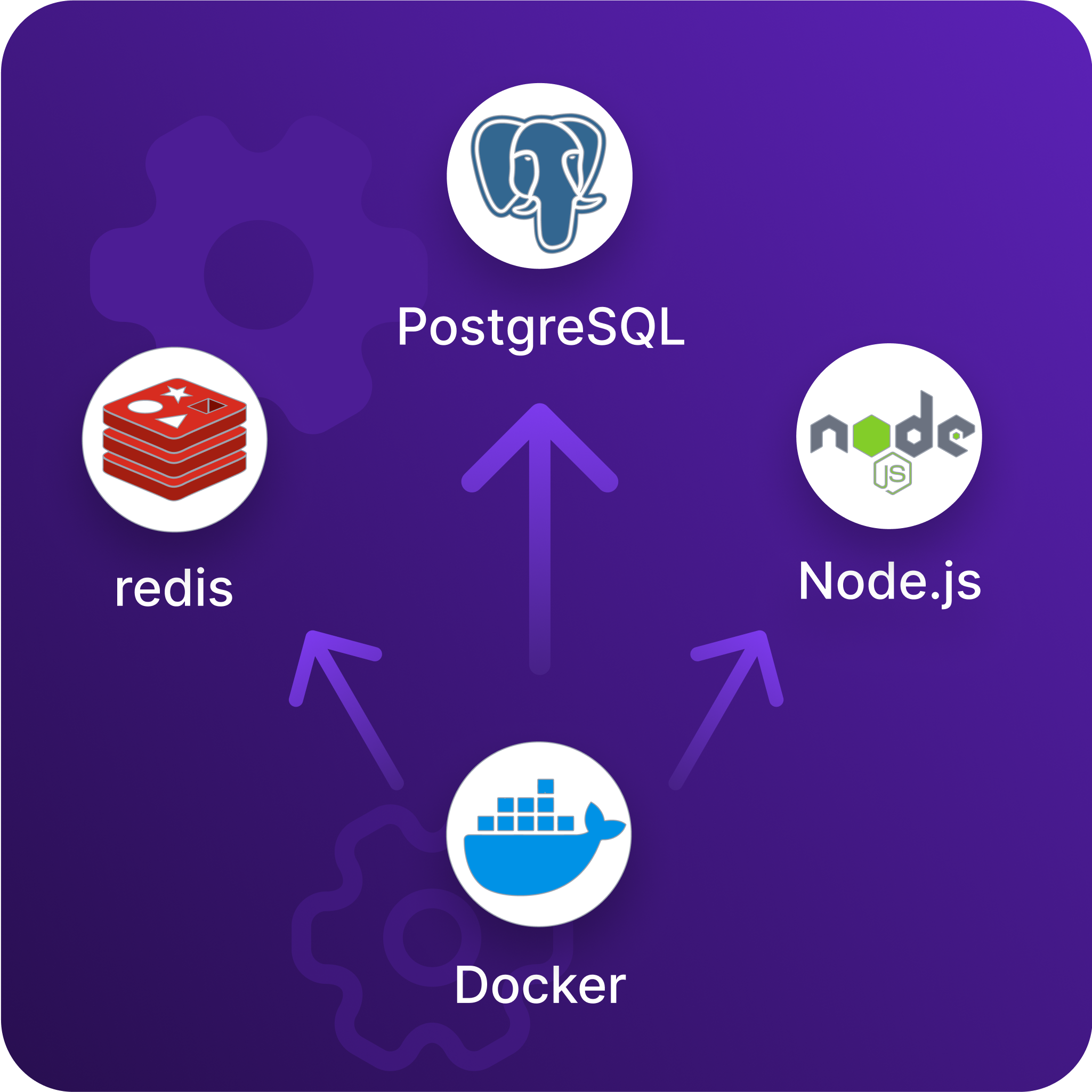
Technology Stack & Architecture
GeoVision is built on a scalable, cloud-based infrastructure, ensuring performance, security, and flexibility. Our technology stack includes:


GeoVision leverages the capabilities of Speckle as a foundation for data interoperability, but we have significantly expanded its potential by adding proprietary enhancements tailored to industry needs.
